
Dall’asimmetria tra il crescente numero di episodi di contaminazione ambientale e la limitata disponibilità di risorse da destinare agli interventi necessari per ripristinare le condizioni originarie nasce la necessità di sviluppare nuove strategie integrate per il riuso dei siti dismessi e del patrimonio industriale. Il progetto di ricerca intitolato AdRem – Adaptive Remediation Toolkit riguarda lo sviluppo di strategie e metodi per spazializzare, visualizzare e gestire le interazioni tra bonifica del suolo e progettazione urbana in siti industriali abbandonati e contaminati. L’obiettivo è progettare un toolkit parametrico a supporto del processo decisionale che coinvolge l’ingegnere ambientale, impegnato nella valutazione delle tecniche di bonifica fattibili in siti caratterizzati da multi-contaminazione, e l’architetto e urbanista, che si occupa di adattare la città post-industriale alle nuove esigenze.
Sintesi della ricerca
Si sta verificando un numero crescente di interventi di bonifica di aree industriali dismesse in contesti urbani, e le relative sfide sono poste dalla combinazione di processi di bonifica, riuso edilizio e adattamento. A seguito della crisi immobiliare del 2007-2008 e della conseguente riduzione della domanda di edifici, i siti industriali dismessi sono diventati sempre più un onere ambientale, sociale ed economico per le comunità urbane. Rispetto ai siti situati in aree industriali attive al di fuori delle città, la riqualificazione di aree industriali dismesse in un contesto urbano pone ulteriori vincoli, ad esempio restrizioni alle variazioni morfologiche del sito – anche temporanee – e restrizioni all’uso dell’area, anche legate alla caratterizzazione paesaggistica e alla percezione complessiva del luogo. Ciononostante, queste aree rappresentano chiaramente una potenziale risorsa, poiché sono spesso integrate nel tessuto urbano, generalmente ben collegate tramite infrastrutture e dotate di una fitta rete di sottoservizi. Oltre al ripristino ambientale e alla tutela della salute umana, la trasformazione delle aree urbane dismesse contaminate può offrire vantaggi significativi, tra cui lo sfruttamento delle infrastrutture esistenti, la conservazione delle aree verdi, la produzione di effetti sociali ed economici positivi per le comunità limitrofe, tra cui l’aumento del valore immobiliare e la riduzione del tasso di criminalità, contribuendo nel complesso alla sostenibilità ambientale, economica e sociale. In tali situazioni, la rigenerazione urbana e la pianificazione di progetti di bonifica sono due pratiche potenzialmente molto interconnesse, ma ancora oggi faticano a interagire tra loro.
Le questioni critiche relative alla bonifica, quando questa avviene in un tessuto urbano denso e complesso, sono numerose. Le operazioni di bonifica producono solitamente grandi quantità di rifiuti, talvolta pericolosi, con costi di smaltimento che spesso portano il costo dei lavori a superare il valore immobiliare dell’area. Inoltre, non è facile ottenere una buona interazione tra i professionisti che gestiscono il recupero dell’area, ovvero l’ingegnere per quanto riguarda le operazioni di bonifica e l’architetto per quanto riguarda il restauro architettonico, con il risultato di un processo di progettazione e di conoscenze frammentate, nonché di una potenziale dispersione. Da un lato c’è la necessità di riqualificare e riutilizzare grandi aree ex industriali, ora incorporate nel tessuto urbano, che sono state gradualmente abbandonate a causa del progressivo sviluppo del settore terziario a scapito di quello manifatturiero. D’altro canto, la passata presenza di attività manifatturiere ha portato ad un’alterazione e, nella maggior parte dei casi, ad una contaminazione delle matrici ambientali a causa del rilascio di contaminanti di varia origine e natura che compromettono il libero riutilizzo dei siti, esponendo i successivi utilizzatori e, più in generale, coloro che vivono nelle vicinanze del vecchio impianto a potenziali rischi.
Un processo di bonifica, necessario e imposto dalla legge per il riutilizzo di queste aree, è comunemente inteso come una “transizione tra due fasi regolate da regolamenti urbanistici ed edilizi”, isolata dalle azioni precedenti e successive, il cui obiettivo è “ripulire completamente il sito dai residui dell’uso passato, per consegnarlo come sito pulito per un uso futuro” (Robiglio et al., 2014). L’alternativa proposta coinvolge concetti di bonifica adattiva, che definiscono due diversi approcci che dovrebbero essere inclusi nella pratica operativa. La grande complessità nella gestione della procedura di bonifica e le potenzialità offerte dal sito nell’ambito del riuso adattivo pongono la necessità di creare uno strumento che metta in relazione le diverse esigenze dei professionisti coinvolti presentando una gamma di possibili alternative, confrontandole con tutte le opzioni potenzialmente efficaci al fine di generare un ventaglio di opzioni realizzabili tra cui il professionista può scegliere.
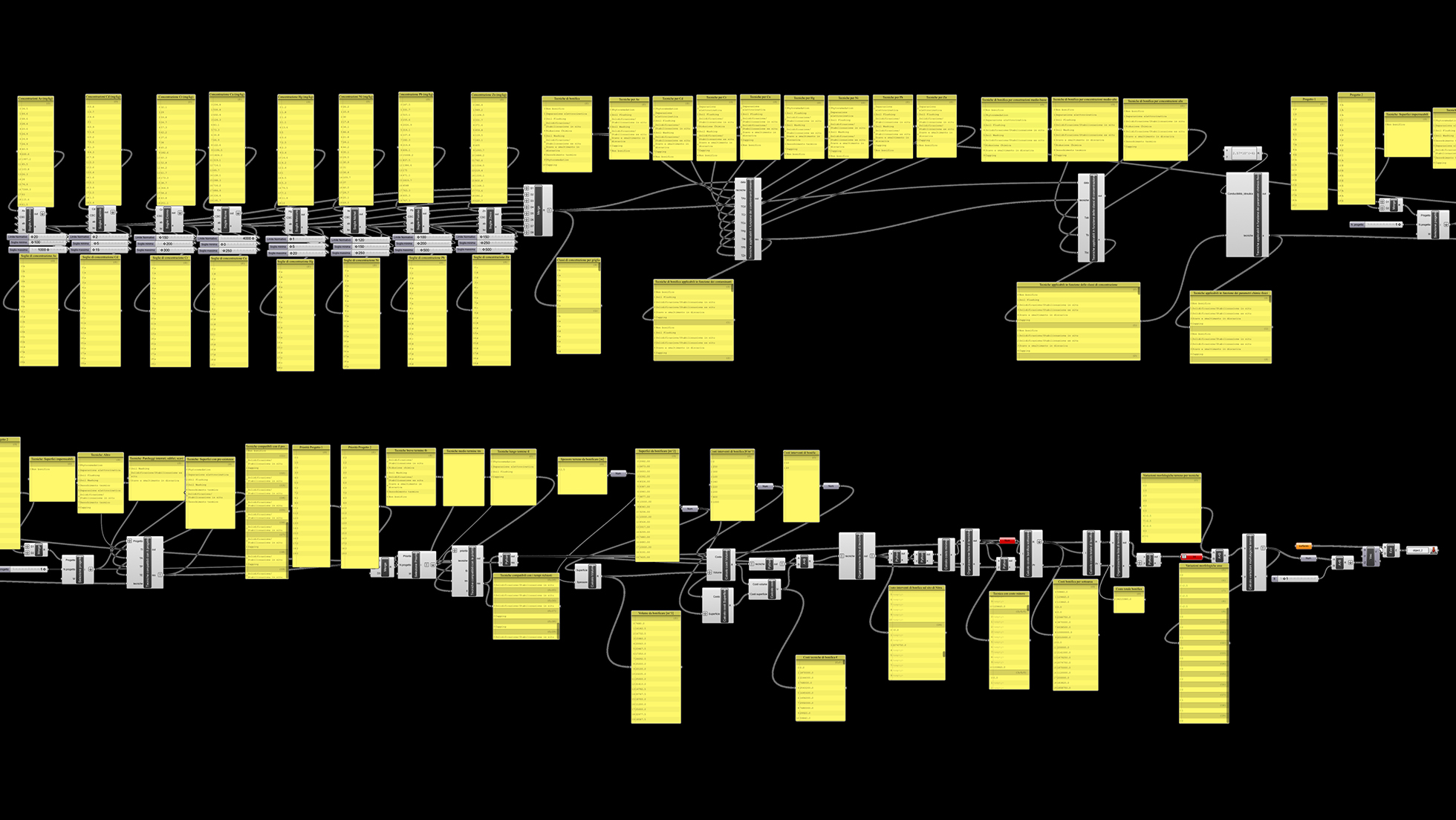
È stato quindi definito l’approccio AdRem (Adaptive Remediation), volto a integrare le diverse discipline (in particolare, ingegneria ambientale e architettura) coinvolte nella progettazione del riuso di aree industriali dismesse, specificamente applicato ai contesti urbani. Nell’ambito del progetto, è in fase di sviluppo un prototipo di toolkit di supporto alle decisioni per aiutare a selezionare quantitativamente e prioritizzare le alternative progettuali praticabili. Il toolkit è coinvolto nella fase di progettazione interdisciplinare elaborando insiemi di tecniche di bonifica e soluzioni architettoniche/urbane, sulla base dei dati raccolti e dei vincoli definiti dall’utente. Gli scenari di bonifica/riutilizzo vengono generati al computer e selezionati confrontando le alternative di bonifica e le esigenze progettuali. Gli scenari praticabili vengono quindi prioritizzati in base a costi e tempi. I risultati del toolkit orientano l’ultima fase di progettazione nel framework AdRem, quando i progettisti ambientali e architettonici identificano il progetto integrato ottimale, utilizzando infine il toolkit in modo ricorrente modificando i parametri di input e i vincoli, sulla base di nuove soluzioni progettuali.
Gli sviluppi futuri del toolkit saranno volti a migliorare l’interoperabilità, in input e output, con i software e i formati esistenti utilizzati nell’analisi dei rischi, nella progettazione architettonica e nelle informazioni geografiche (GIS).
